What the National Weather Service announced
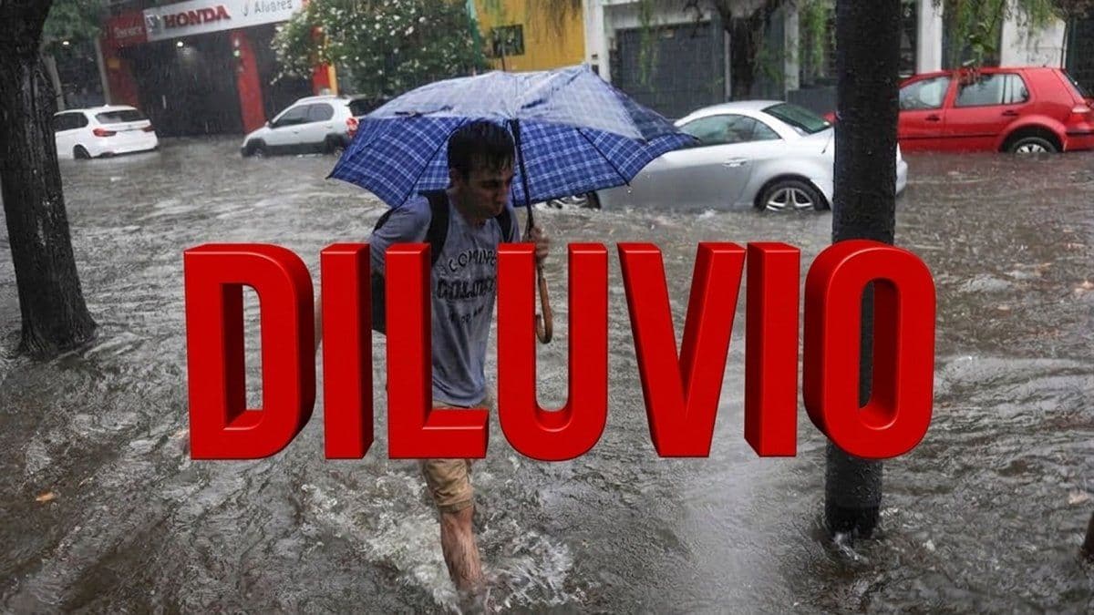
The Servicio Meteorológico Nacional, known as the SMN, issued a yellow alert for strong storms for this Thursday, October 29. According to Minuto Uno, the warning covers the east of Buenos Aires province and a long stretch of its Atlantic coast.
The official map marks coastal districts such as Pinamar, Villa Gesell and Mar del Tuyú, and inland ones such as Dolores, Castelli, Chascomús, Maipú, Ayacucho, General Lavalle and Coronel Vidal. Coverage also extends toward areas near Mar del Plata and Balcarce.
For the AMBA (Buenos Aires Metropolitan Area), which includes the City and the surrounding suburbs, no alert is in force, and western Buenos Aires province is also at the green level. Temperatures in that region are trending upward.
What the yellow level means and what is recommended
A yellow warning anticipates phenomena able to cause damage that can briefly interrupt daily activities. In the affected areas, forecasters expect intense rain over short periods, wind gusts, heavy electrical activity and, possibly, hail.
Authorities ask people to avoid outdoor activities and not to stay in open spaces while the storms last. They also suggest securing objects the wind could carry off from balconies, patios and roofs. It is best not to put the trash out or leave things that block drains and gutters.
Drivers should take extra care, keep their distance from other vehicles and slow down when rain limits visibility.
According to La Nación, at the yellow level it is advisable to clear storm drains, avoid flood-prone areas and, if water enters the house, cut the power.
The same article describes the higher levels. At orange, dangerous phenomena are expected for people, property and the environment, and people are asked to stay calm, travel only if essential and not touch cables or poles. Red corresponds to exceptional phenomena with the potential for disaster, and then the instruction is to follow local directions and not enter flooded streets.
Other provinces and the El Niño context
For the same Thursday there are yellow alerts for rain or storms in northwest Argentina: nearly all of Tucumán, eastern Jujuy, central and southern Salta and parts of eastern and central Catamarca. In Andean Patagonia, the warning covers the west of Santa Cruz.
The backdrop is an El Niño that remains active, a phenomenon that arises from the warming of Pacific waters near the equator. According to La Nación, in Argentina it usually brings above-normal rainfall, especially in the northeast.
The Federal Emergency Agency works with the provinces under the ENOS Federal Coordination Plan. The SMN, La Nación notes, issues warnings up to 72 hours ahead.
Infobae reported that the national parks administration activated a prevention plan in 18 protected areas across nine provinces, among them the Ciervo de los Pantanos reserve in Buenos Aires. On Sunday, October 25, authorities closed as a precaution the sector known as the Upper Circuit at the Iguazú Falls because the river rose, reaching 9,500 cubic meters per second against a historical average of 1,500.
What changes for you
If you live in the City or the suburbs, there is no SMN alert for your area on Thursday the 29th, though it is worth checking the agency's official site, where warnings are updated continuously. If you are traveling to the Atlantic coast, to Pinamar, Villa Gesell or Mar del Tuyú, expect strong storms and avoid being outdoors while they last.
Keep a flashlight, a battery radio, a first-aid kit, food and drinking water at hand, and note the phone numbers for Civil Protection, the fire department and the police in your town.
Source: Minuto Uno
Keep exploring
Alerta por diluvio para este jueves en Buenos Aires: a qué hora llegan las tormentas y en qué zonas ↗Avanza el Súper Niño: las recomendaciones de la Agencia Federal de Emergencias ante una alerta roja por lluvias y tormentas extremas ↗Alerta por El Niño en Argentina: Parques Nacionales activó un plan de prevención para 18 áreas protegidas ↗Stories worth sharing.