Heat builds across the metro area from Tuesday
The Buenos Aires metropolitan area (AMBA) is leaving cool mornings behind and entering a gradual run of heat that begins this Tuesday, November 10. The high point is expected on Friday the 13th, with up to 32°C in the western sector of Greater Buenos Aires. According to Meteored, the humid, warm air coming from the northeast will bring several days ranging from mild to hot.
The rise will not be spread evenly across the territory. The capital and the western suburbs can differ by as much as four degrees, and the neighborhoods and districts next to the Río de la Plata will feel less heat thanks to the breeze. Besides the warming there will be unsettled moments and a chance of isolated rain.
The sharpest turn in the weather arrives on Saturday, with a change in wind direction and light rain. Only on Sunday will the drop in temperature be clearly noticeable.
Tuesday and Wednesday: mild conditions
This afternoon will have clouds coming and going, with highs between 26°C and 28°C. As night falls, a cloud system could leave a stray shower over the north of the metro area, but Meteored considers it unlikely.
Tomorrow, Wednesday the 11th, the weather stays pleasant: between 26°C and 29°C at the top, with clouds alternating with patches of sun. A slight risk of scattered rain remains in the early hours.
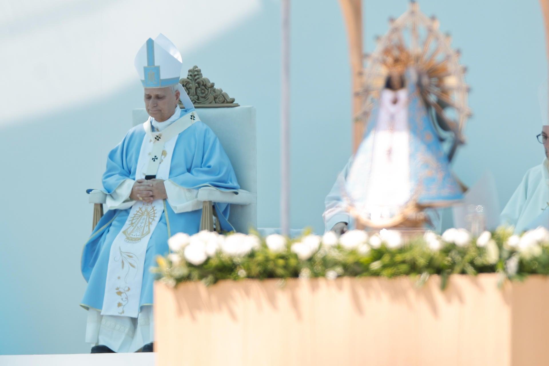
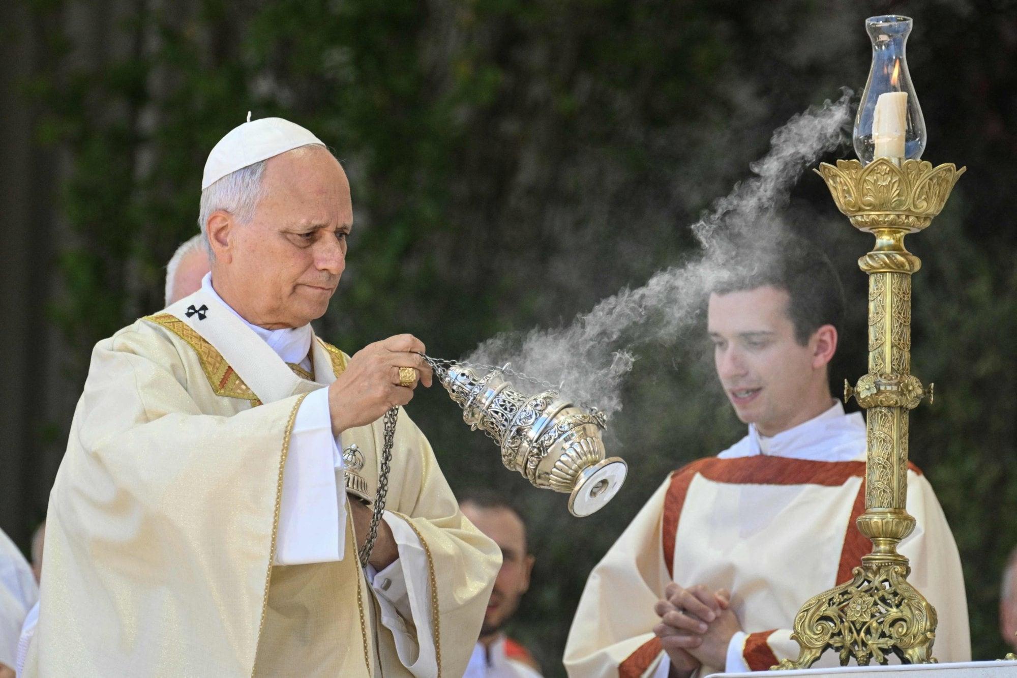
That same day, at 10, a mass is held in Luján. For that area, the National Weather Service, cited by Ámbito, projects a morning of 16°C to 18°C and a high of up to 28°C. The chances of drizzle or light showers run from 10% to 40% according to the report, and no heavy or widespread rain is forecast during the ceremony.
Thursday and Friday: the heat peak
Thursday the 12th starts with clear skies and the thermometers keep climbing. For the western suburbs 30°C is calculated, and the capital would stay near 28°C. From the afternoon an east wind picks up, with gusts of 30 to 40 kilometers per hour over the Río de la Plata, reaching San Fernando and the Costanera in the city.
Friday the 13th stands as the warmest day of the week. Across most of the western suburbs about 32°C is expected, while the city of Buenos Aires hovers around 29°C and the coastal strip near 28°C. Whether the capital reaches 30°C depends on how long the northeast wind lasts; beside the river, the evening breeze softens the heat.
Overnight lows also rise, with values between 18°C and 20°C. That way, the nights at the end of the week will feel warmer than the earlier ones.
Saturday and Sunday: wind, light rain and a cooldown
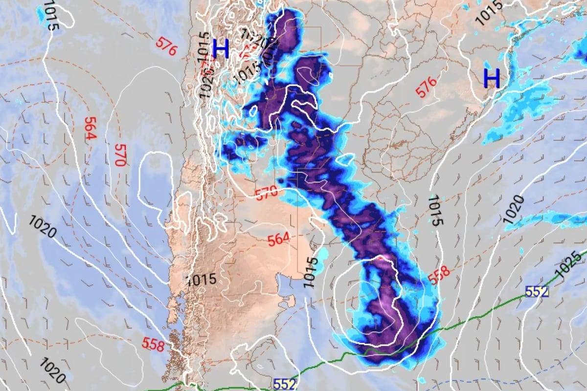
Saturday the 14th begins with heat, a north wind and a high of 29°C before the scene changes. In the afternoon the wind will turn to the southwest and then to the south, and with that shift come light, scattered showers that would leave barely a millimeter of accumulated water.
It is still unclear at what hour the front crosses. An earlier arrival would make the showers more frequent. With Saturday's change the rising sequence is cut off, and on Sunday the cooler air, with southeast circulation, settles over the whole metro area.
Useful facts
If your week depends on the weather, check these numbers before heading out: on Thursday the 12th the capital hovers around 28°C and western Greater Buenos Aires around 30°C; on Friday the 13th the west reaches 32°C and the city about 29°C. Friday's lows hover between 18°C and 20°C, so light clothing makes sense for the night.
For Saturday the 14th, bring a small umbrella: the rain is light, around one millimeter, but the arrival time of the front is still not set. Check the National Weather Service outlook on the same day, because the wind can change the numbers.
Source: La Nación
Keep exploring
Se viene otro “veranito”, que traerá temperaturas en aumento, un pico de calor de 32°C, inestabilidad y chaparrones: las zonas afectadas ↗Cómo va a estar el clima en Luján durante la misa del papa León XIV ↗Stories worth sharing.