What the National Weather Service announced
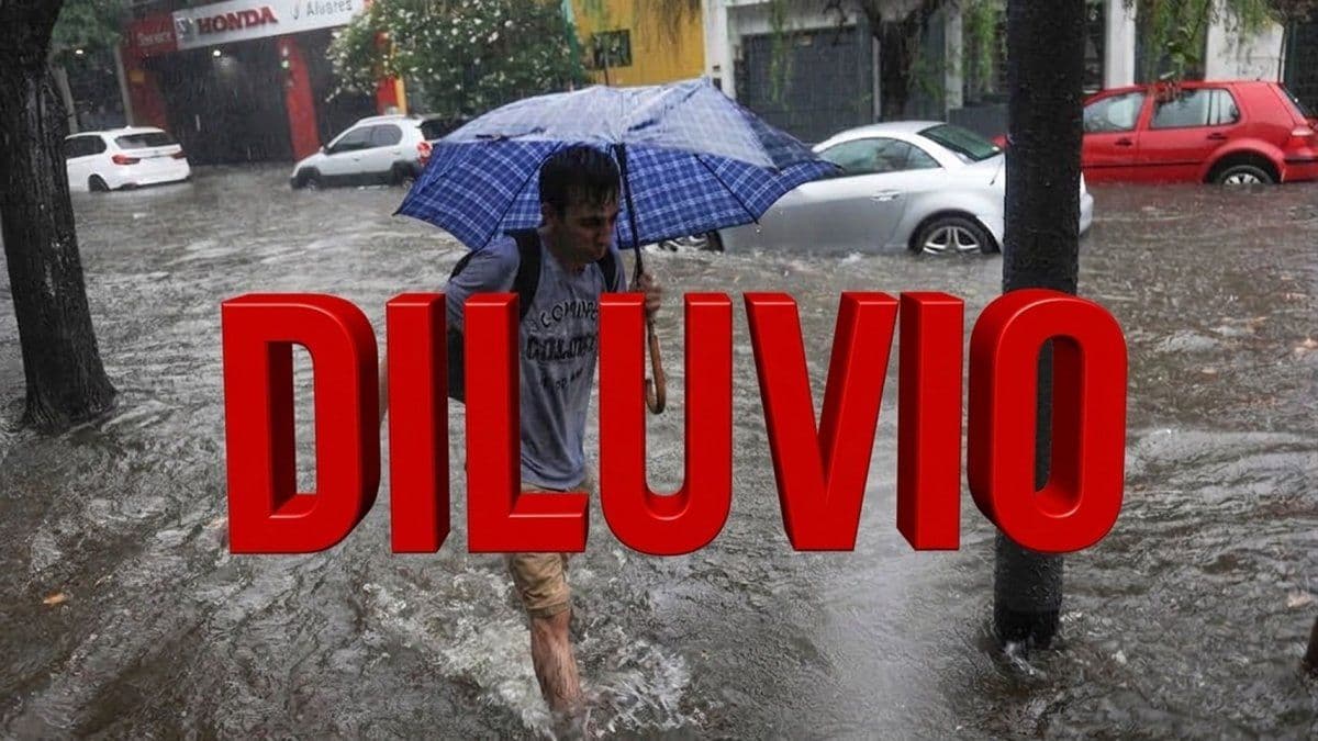
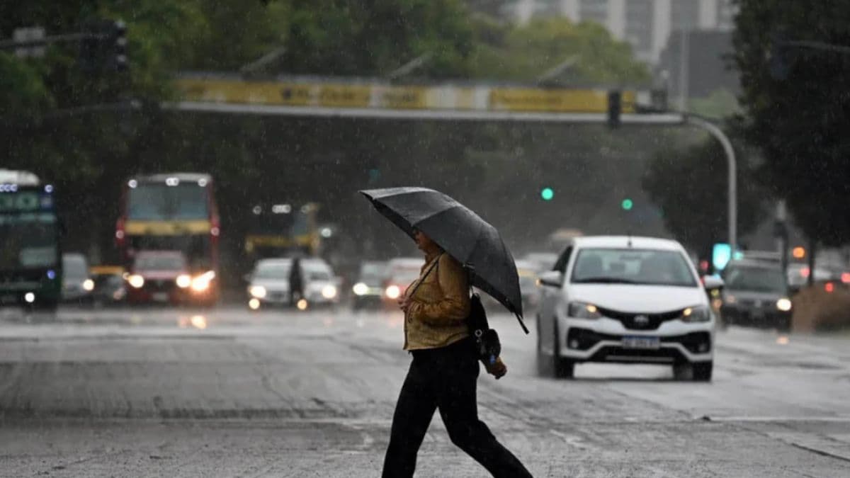
The Servicio Meteorológico Nacional, known as the SMN, issued a yellow alert in force in the nation's capital, concentrated on the morning of Friday, October 30. The notice speaks of rain of varying intensity, some of it locally heavy, which may come with hail and strong gusts.
According to Ámbito, accumulations of 20 to 50 millimeters are expected, and that figure could be exceeded in some spots. Frequent electrical activity and a lot of water falling in a short time are added to the picture.
Minuto Uno reported that the warning reaches the metropolitan area and wide parts of Buenos Aires province. It also mentions the north of the province, the Atlantic Coast, southern Entre Ríos and southern Santa Fe. Infobae, for its part, described a map from October 29 with a yellow band running from northern Buenos Aires province to La Plata.
What the weather will be like on Friday in Buenos Aires
For the City, Ámbito lists a low of 14 degrees and a high of 23. Infobae, which goes through the detailed outlook, keeps the high at 23 and raises the low to 15, with a 40 to 70 percent chance of storms from morning through afternoon.
The outlook released this Thursday anticipates storms in the early hours, showers in the morning and isolated activity in the afternoon, according to Ámbito. When night arrives, the sky would be a mix of clouds and clear spells, and according to Infobae the chance of rain drops to a range of 0 to 10 percent.
Thursday night, by contrast, arrives without surprises: Infobae notes a 0 percent chance of rain for the whole day. Since the system can change timing and intensity, Ámbito advises checking the agency's updates before leaving home.
What the yellow level means and how to prepare
The yellow level warns of phenomena with the capacity to cause damage and a risk of briefly halting the daily routine. Ámbito clarifies that this does not mean the strength of the storms will be identical in every neighborhood or that it will last all day.
The official recommendations gathered by the outlets are practical. One is to keep the trash indoors and unblock your home's drains ahead of time. Another is to avoid flood-prone areas and waterlogged streets, and not to seek shelter next to trees or poles that could fall. Minuto Uno adds that it is wise to clear whatever obstructs drainage and keep a flashlight and emergency supplies at hand.
If water gets into the house, the advice is to switch off plugged-in appliances and turn off the electricity, as long as it can be done without risk. In an emergency, the City runs line 103, and if there is danger you can also call 911.
The outlook for the following days
According to Infobae, Saturday brings a break: a high of 24 degrees, a low of 14 and rain ruled out almost all day. It is the calmest stretch among those that outlet reviews.
On Sunday, November 1, the picture gets complicated again from the afternoon, with a high of 25 degrees, a low of 15 and more chance of water after noon. On Monday the 2nd, the city regains calm, with a high of 26 degrees, a low of 16 and chances of rain that do not exceed 10 percent.
What changes for you
If you go out in Buenos Aires on the morning of Friday, October 30, expect heavy rain, possible hail and gusts, and waterlogged streets in low-lying areas. It is wise to leave with time to spare, avoid flood-prone stretches and check the SMN notices before moving, because timing can change.
Before the storm, on Thursday night, do not put the trash out and make sure your home's drains are clear. Temperatures hover from 14 to 23 degrees, so a waterproof jacket is enough. For emergencies, you have the City's line 103 and 911.
Source: Ámbito
Keep exploring
Alerta amarilla por tormentas en la Ciudad: esperan lluvias intensas y posible granizo ↗Hay alerta amarilla por tormentas en el AMBA para este viernes: cómo estará el clima para el Superclásico ↗A qué hora cae el diluvio este viernes en el AMBA, con lluvias severas y ráfagas: rige un alerta por tormentas ↗Stories worth sharing.