Weather in the AMBA: how the weekend starts
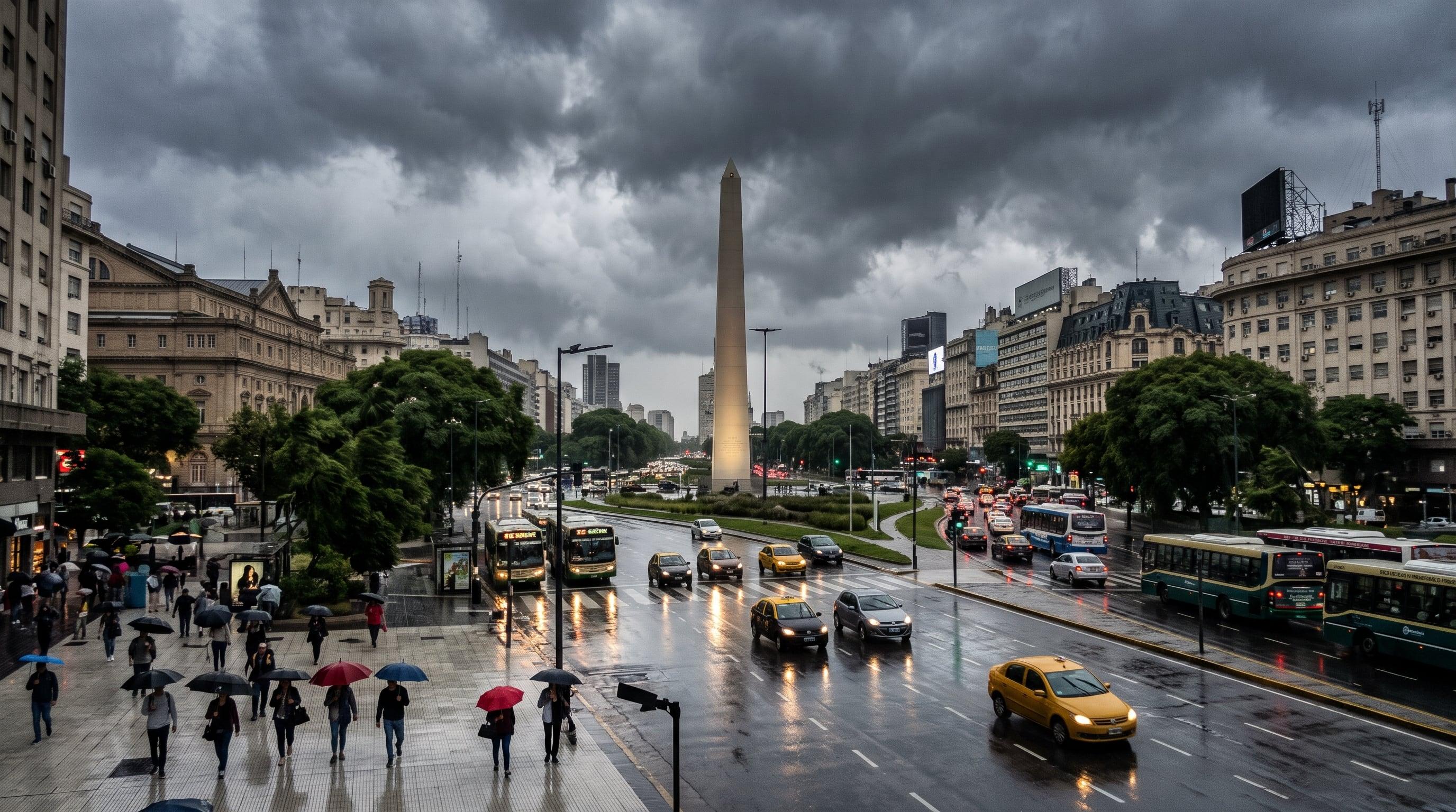
The weekend in the AMBA starts with rain and ends with cold and clear skies. For the city of Buenos Aires, the National Weather Service (SMN) forecasts a mostly cloudy Friday, November 6, with a low of 17°C and a high of 25°C. Showers would arrive during the afternoon and night.
According to Infobae, the chance of rain in the afternoon ranges from 40% to 70% and at night rises to a range of 70% to 100%. Meteored, cited by La Nación, estimates a probability close to 70% for the metropolitan area, with scattered totals between 1 and 15 millimeters. Storms, that source adds, have little chance of developing.
La Nación explains that the cause of the change is a cold front moving over the central region of the country. The wind will turn to the south, with some gusts, and the temperature will fall gradually as the system passes.
Saturday and Sunday: from leftover rain to the coldest dawn
On Saturday the 7th, leftover rain could persist in the early morning, with a 40% chance according to the SMN. Then the weather improves, with overcast skies in the morning and no precipitation in the hours that follow. Thermometers would read between 12°C and 19°C, and in the first hours the wind would blow with gusts of up to 50 km/h.
Meteored agrees on the improvement, according to La Nación, although it speaks of gusts between 45 and 50 km/h and a high around 20°C.
Sunday the 8th will bring, according to the SMN, the clearest improvement for the city: a sunny day, a low of 10°C, a high of 22°C and no rain. Meteored, on the other hand, marks it as the coldest dawn of the sequence. For the capital a low near 10°C is estimated, but in parts of Greater Buenos Aires 6°C to 7°C are expected, after several days of spring-like weather.
When the heat returns to Buenos Aires
For Monday the 9th, the SMN forecasts stability, with lows of 14°C, highs of 25°C and gusts of up to 31 km/h. Tuesday the 10th would arrive with clouds and clear spells and a temperature range of 16°C to 25°C.
Meteored projects that the north wind will favor a recovery in temperatures, most noticeable on Monday. During Tuesday the 10th and Wednesday the 11th, highs would be between 25°C and 27°C, with mostly stable conditions.
Thursday the 12th could be the warmest day of the period, with thermometers near 30°C. From Thursday to Saturday the 14th, weather models anticipate some instability: isolated rain and, toward the end, possible storms.
SMN alerts and advice for rainy and windy days
The SMN has yellow storm warnings in force in five jurisdictions. They are Misiones, Formosa, San Luis, La Pampa and Buenos Aires. In Buenos Aires province, according to Infobae, the agency expects strong storms in the west and southwest; the rain would then reach the rest of the province, with showers in the morning and some storms in the afternoon.
There are wind and Zonda warnings in Mendoza, San Juan, Tucumán, La Rioja and Corrientes. In the face of heavy rain and strong winds, the agency recommends avoiding going out, cleaning drains and gutters, and not putting out the trash. It also advises closing doors and windows, securing objects the wind could carry off and, if water gets into a home, cutting the electricity and unplugging appliances.
What changes for you
If you go out on Friday afternoon or night, take an umbrella: that is when showers concentrate in the city. Saturday starts cool and windy, and Sunday dawns cold, with 10°C in the capital and less in the suburbs, so it is worth bundling up in the morning. From Monday the weather settles and the heat returns little by little, up to near 30°C on Thursday the 12th. For official data and alerts, check the SMN bulletin, which is the source of the warnings.
Source: Infobae
Keep exploring
Cómo estará el tiempo en el AMBA durante el fin de semana y la llegada de León XIV al país ↗Se aproxima un frente frío que provocará un derrumbe térmico con temperaturas de hasta 6° y tormentas: las zonas afectadas ↗Stories worth sharing.