Early fog and a warm afternoon this Monday
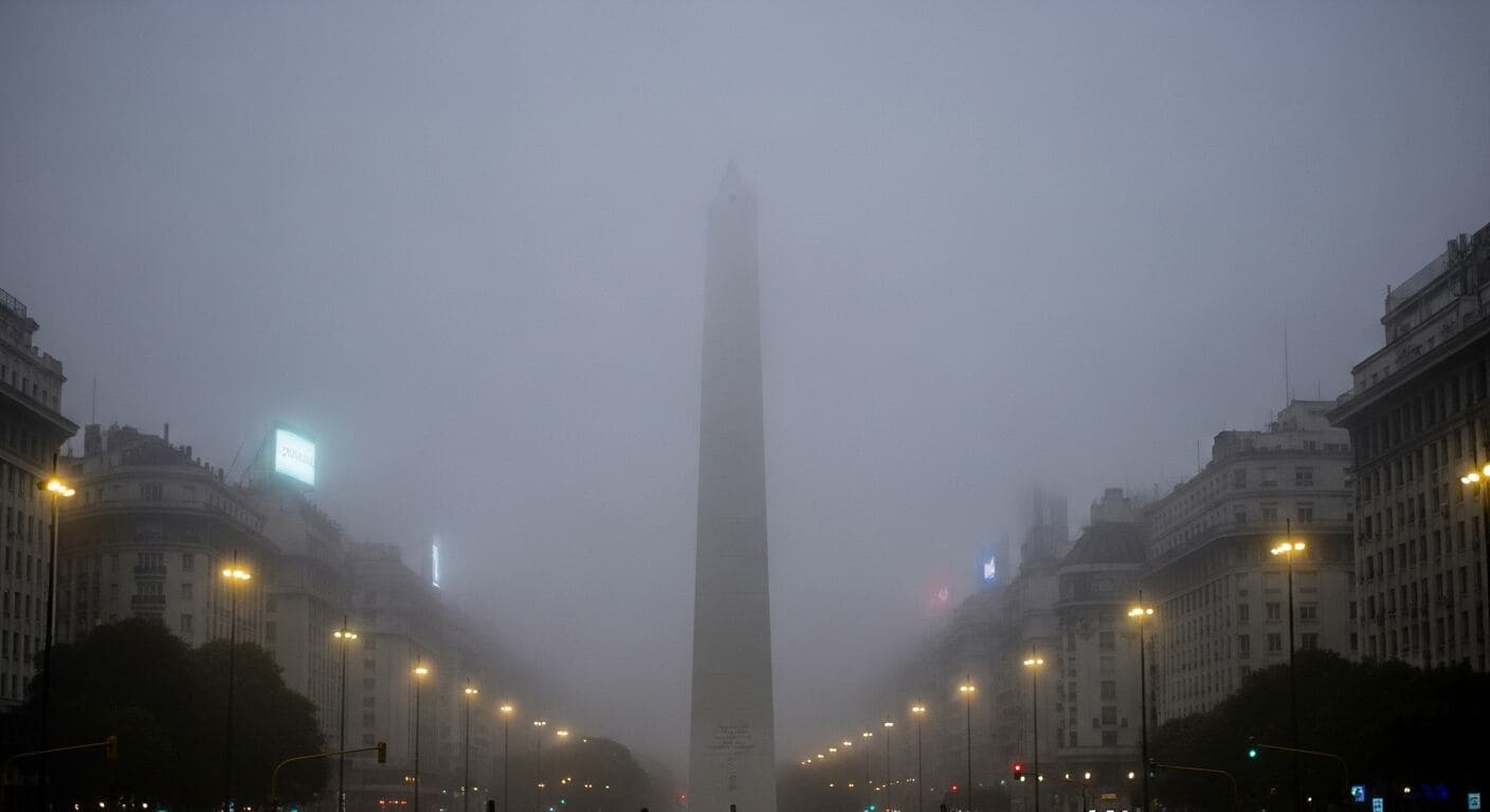
Buenos Aires started this Monday, November 2, with thick fog in low-lying and outlying parts of the metro area, and the week promises to move from spring warmth to autumn cold. According to Infobae, humidity close to 100% explains the early haze, which lifts as the sun comes out.
The afternoon would reach 25 °C in the city and 27 °C in the western suburbs, the warmest moment of the whole week. Minuto Uno, citing the National Weather Service, anticipates a low of 16 °C and a high of 26 °C, with partly cloudy skies by day and more cloud at night.
Minuto Uno also recalls the chance of storms in the first hours of the day and speaks of a gradual improvement from the morning on.
Tuesday and Wednesday: rain and a temperature drop
Tuesday changes the picture. Infobae describes an east wind pushing clouds in from the river, with a low of 17 °C and a high that would not pass 21 °C, and it does not rule out isolated storms and showers toward night. Minuto Uno agrees on the 21 °C high, but gives a low of 15 °C and isolated rain from the afternoon.
Wednesday starts with showers, according to Minuto Uno, which recommends going out with care in the morning. Infobae speaks of a mostly cloudy early morning, a wind that turns southwest and clears the sky, and an afternoon of 24 °C. For that day, Minuto Uno puts the low at 14 °C and the high at 25 °C.
A steady Thursday and a cold front on Friday
Thursday would be the steadiest stretch of the period. Infobae anticipates a sky with full sun and temperatures running from 13 or 14 °C at dawn up to 25 or 26 °C in the afternoon. Minuto Uno adds that the 12 °C low would be the lowest of the week up to that day, with a high of 25 °C.
A cold front arrives on Friday. Highs are cut to 23 °C, there are more clouds from the morning and a shower becomes possible in the afternoon, according to Infobae. At night a south wind would begin to blow at close to 20 km/h. Minuto Uno speaks of isolated rain toward the end of the day, with a low of 14 °C and a high of 24 °C.
Saturday, with autumn-like lows
The biggest impact would come on Saturday, with lows near 11 °C, figures that Infobae associates with autumn more than spring, and an afternoon that would not pass 23 °C. Sunday would also dawn at 11 °C, but with sun and a north wind it would bring back an afternoon of 20 °C.
The same report adds that, in the rainfall balance, the center-east of Buenos Aires province would see between 10 and 30 millimeters less than usual, while the center-west of the country would receive between 20 and 50 millimeters above average.
Outside the metro area, this Monday's alert map shows a yellow level for storms in Misiones and Corrientes, with eastern parts of Chaco and Formosa, and in almost all of San Luis province, according to Infobae.
What changes for you
If you head out early this Monday, expect dense fog in the low-lying parts of the metro area, as Infobae describes. Bring an umbrella on Tuesday, because both sources anticipate isolated rain or storms toward the afternoon and night, with a high of just 21 °C. On Wednesday morning Minuto Uno forecasts showers.
Thursday is the steadiest day of the week, at 25 to 26 °C, and suits outdoor plans. From Friday add a layer: the cold front brings a south wind and on Saturday the low hovers around 11 °C. Since the numbers differ by a few degrees between sources, check the National Weather Service bulletin each morning.
Source: Infobae
Keep exploring
Niebla en el AMBA: cómo estará el tiempo este lunes tras las tormentas ↗Clima hoy en Buenos Aires: el pronóstico del tiempo para el lunes 2 de noviembre ↗Stories worth sharing.