Saturday: the rain eases and the wind stays
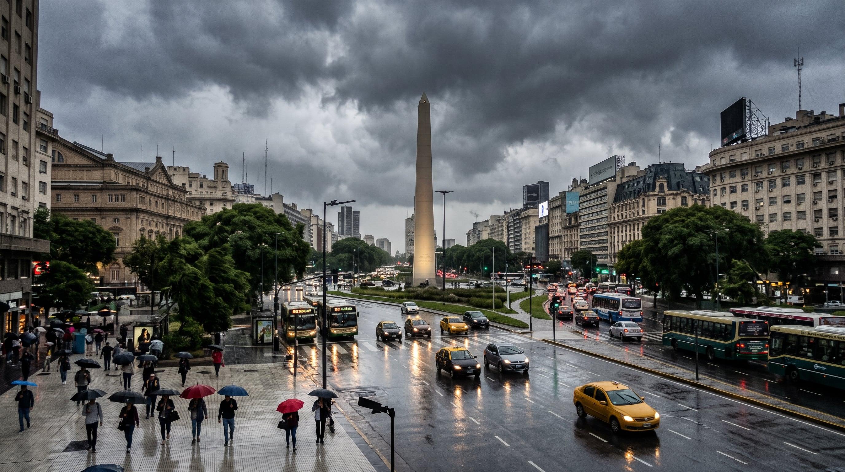
The National Weather Service (SMN) expects rain in the City of Buenos Aires to end during the morning of this Saturday, November 7, and conditions to improve gradually. According to Infobae, a cold front moving across the whole country brings lower temperatures than in recent days, although the cloud cover will also thin out.
The sky will stay mostly overcast in the first hours of the day. Once the morning is over no more precipitation is expected, and the temperature will range between 12 and 19 degrees. Gusts could reach 50 kilometers per hour, a detail worth keeping in mind if you plan to spend the afternoon in parks or open squares.
Sunday and Monday: more sun and mild temperatures
The clearest improvement for the City arrives on Sunday 8, with a sunny day and no rain. Infobae anticipates a low of 9 degrees and a high of 22. That same day Pope Leo XIV lands in the country, a visit that organizes a good part of the porteño agenda for the coming days.
On Monday 9 the weather stays stable, with readings between 13 and 25 degrees. For Tuesday 10, the outlook speaks of partly cloudy skies in the morning and heavier cloud in the afternoon, with a temperature between 16 and 26 degrees.
Meteored, cited by La Nación, describes the same change at national scale: a cold front shifting north and the arrival of a high pressure system, centered over southern Córdoba, that steadies the weather in the central region from Sunday. In the Litoral, according to La Nación, rain and storms still linger through this Saturday.
Alerts and outdoor plans
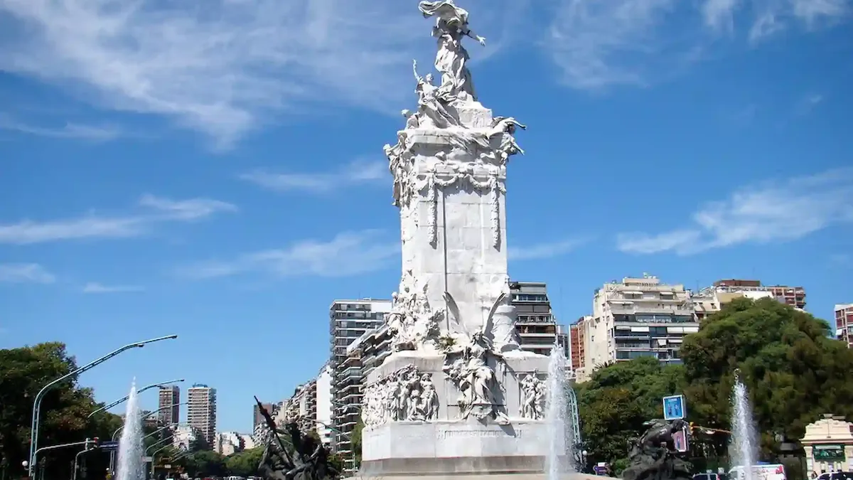
For the outdoor events on the official agenda, Infobae gives three scenarios. In Palermo, in front of the Monumento a los Españoles, there will be full sun on Monday 9 at 11:30 and a temperature barely above 20 degrees. On Tuesday 10 at 10 in Córdoba showers are expected, with between 15 and 20 degrees, and on Wednesday 11 at 10 in Luján the sky will be mostly cloudy, with between 16 and 20 degrees.
As for alerts, this Saturday the SMN keeps a yellow wind warning for Formosa, Salta, Jujuy and Chaco, and an orange storm warning for Misiones. Buenos Aires is not on that list. For the following days, Infobae records only a yellow wind warning for Tierra del Fuego on Sunday and Monday.
Heat arrives first in northern Patagonia
According to La Nación, the first episode of summer-like heat of the season will be felt earlier in northern Patagonia. Neuquén could see a high of between 30 and 31 degrees on Sunday 8, while Bariloche is expected to reach about 23, rising to 25 on Monday.
From Tuesday to Wednesday thermometers would hover around 36 degrees in the Alto Valle and approach 39 in eastern Río Negro and La Pampa, according to Meteored. The heat would then keep moving north, with Santiago del Estero near 40 degrees from Wednesday 11 to Thursday 12. Monday 9 will still be moderate in the center and the northeast, with highs near 26 degrees in Córdoba, 28 in Mendoza and 25 in Corrientes.
What changes for you
If you head out today, Saturday 7, bring a light jacket: the low is 12 degrees and the wind can gust up to 50 kilometers per hour. After the morning there is no rain in the outlook for the City.
From Sunday 8 the picture is different, with sun, a low of 9 degrees and a high of 22. On Monday 9 it reaches 25 degrees and, according to Infobae, full sun in Palermo at 11:30, so light clothes are enough for several hours outside. Check the SMN bulletin before you leave, because the numbers can move from one day to the next.
Source: Infobae
Keep exploring
Cómo estará el tiempo en el AMBA durante el fin de semana y con qué clima recibirá el país a León XIV ↗Anuncian un cambio en el clima en Buenos Aires durante la visita del papa León XIV: llega un veranito con temperaturas de hasta 30° ↗Stories worth sharing.